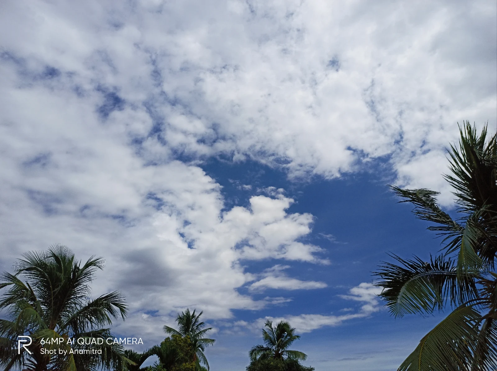
Altocumulus clouds:
Altocumulus clouds, floating gracefully in the mid-levels of the atmosphere, paint the sky with their distinct textures and patterns. These beautiful formations, often resembling fluffy cotton balls or small waves, captivate the observer's gaze and add a touch of elegance to the heavens above.
These clouds are characterized by their white or gray color and appear in groups or layers. They usually form between 6,500 to 20,000 feet above the ground and are composed of water droplets or a mixture of water droplets and ice crystals. The presence of these clouds often indicates instability in the atmosphere and can be a precursor to weather changes.
What makes altocumulus clouds fascinating is their intricate patterns and formations. They can manifest as rounded masses, rolls, or even parallel bands. These cloud structures create a captivating interplay of light and shadow, as sunlight filters through the gaps, casting subtle shades and highlighting the unique textures.
Altocumulus clouds are not typically associated with precipitation, but they can occasionally evolve into larger, denser cloud types that may bring rain or snow. Their presence adds depth and character to the sky, enhancing the visual spectacle of the atmosphere. Whether scattered across the heavens or covering large expanses, altocumulus clouds invite us to look up, appreciate the beauty of nature's canvas, and marvel at the wonders that unfold above us.

Fractus clouds, also known as fractostratus clouds, are captivating atmospheric formations that add a touch of whimsy to the sky. These fragmented, shredded clouds, characterized by their irregular shape and scattered appearance, create a mesmerizing display of nature's brushstrokes.
Fractus clouds are often seen in association with larger cloud formations such as cumulus clouds or stratocumulus clouds. They form as a result of atmospheric instability, turbulence, or the interaction between different layers of air with varying moisture content and temperatures. As air rises and falls, it creates turbulent eddies and waves, causing the clouds to fragment and disperse into smaller, intricate formations.
Nimbostratus clouds:
Nimbostratus clouds are one of nature's atmospheric masterpieces, bringing with them a sense of anticipation and the promise of rainfall. These thick, low-level clouds blanket the sky, creating a gray veil that obscures the sun and casts a somber mood upon the world below.
Characterized by their uniform and featureless appearance, nimbostratus clouds stretch across vast expanses, seemingly endless in their expanse. They often form as a result of warm and cold air masses colliding, leading to prolonged periods of precipitation.

Floating clouds
Cumulus cloud:
Cumulus clouds are a sight to behold, captivating our imaginations as they float gracefully in the vast expanse of the sky. These puffy wonders are characterized by their distinct shape, resembling large, cotton balls or heaps of whipped cream.
Formed through the convection process, cumulus clouds typically develop on sunny days when warm air near the Earth's surface rises and cools as it reaches higher altitudes. The cooling process causes water vapor in the air to condense into visible droplets or ice crystals, resulting in the formation of the cloud.
Cumulus clouds are often associated with fair weather, as their presence signifies a stable atmosphere. They tend to have a flat base and a dome-shaped top, displaying vertical growth when the conditions are favorable. As they expand vertically, cumulus clouds can reach impressive heights, casting shadows on the landscape below.


1 Comments
Very nice
ReplyDeleteIf you have any doubt let me know.